A landmark plan commits to protecting boreal forests, wetlands, rivers and wildlife across one of North America’s last wild landscapes
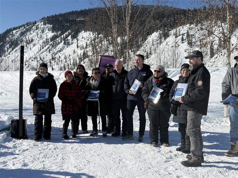
DAWSON CITY, YUKON — After years of negotiation, the Dawson region has a roadmap for future land use that is a win for wildlife and reflects the deep commitment of communities, Indigenous Nations, and stakeholders to forge a strong future for the area.
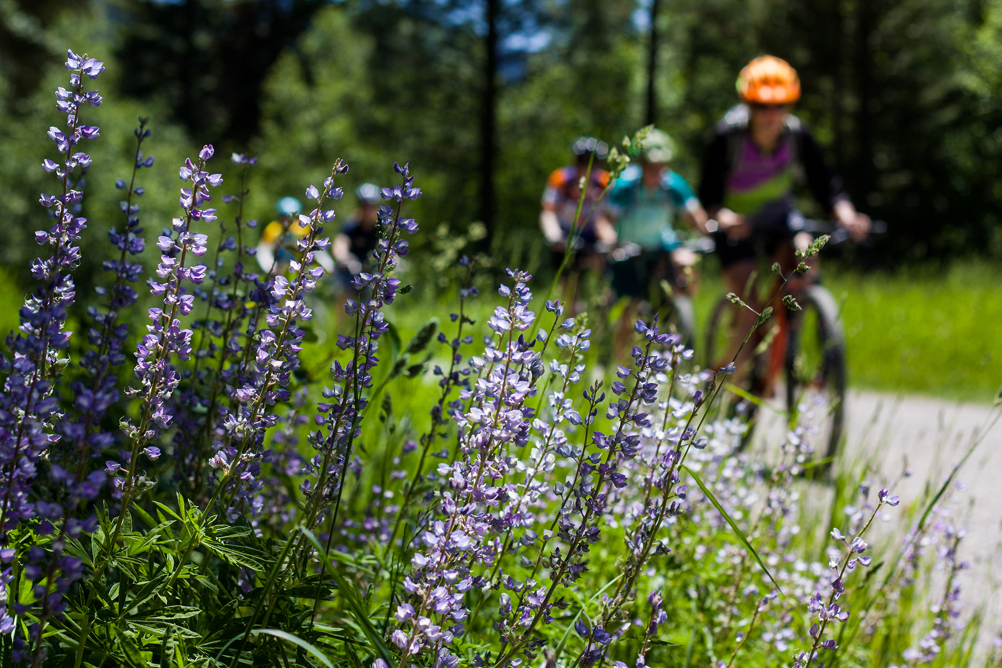
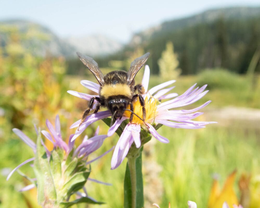
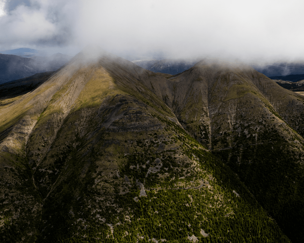
The Yellowstone to Yukon Conservation Initiative (Y2Y) celebrates a significant step forward for the Yukon with the release of the final recommended Dawson Regional Land Use Plan. The Dawson region sits at the northern portion of the Yellowstone to Yukon corridor, with 40% of the area overlapping one of the last intact mountain ecosystems on Earth. Connected landscapes like this are among nature’s most powerful tools for climate stability by storing carbon, regulating watersheds, and allowing wildlife to adapt as temperatures rise. Every new protected area closes a critical gap, ensuring nature has the room it needs to stay intact and survive.
Guided by the phrase, “Nän käk ndä tr’ädäl,” or “On the Land We Walk Together,” the recommended plan represents a historic opportunity to balance economic development with the protection of the region’s world-renowned wildlife and cultural landscapes and management of cumulative effects. It also advances Canada’s commitment to conserving 30% of its lands and waters by 2030, known as the 30×30 goal.
“This plan is a win for everyone who lives, works, and depends on this landscape,” says Meaghen Kimmitt, Yukon Conservation Specialist at Y2Y, who attended the ceremony at Dawson City, in Tr’ondëk Hwëch’in territory. “By coming to the table in good faith, we have moved toward a shared vision. This plan is grounded in a collaborative commitment to conservation and reconciliation, offering a durable framework where both nature and the economy can thrive.”
“This plan is a win for everyone who lives, works, and depends on this landscape,” says Meaghen Kimmitt, Yukon Conservation Specialist at Y2Y. “By coming to the table in good faith, we have moved toward a shared vision. This plan is grounded in a collaborative commitment to conservation and reconciliation, offering a durable framework where both nature and the economy can thrive.”
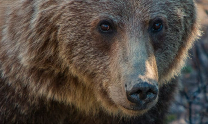
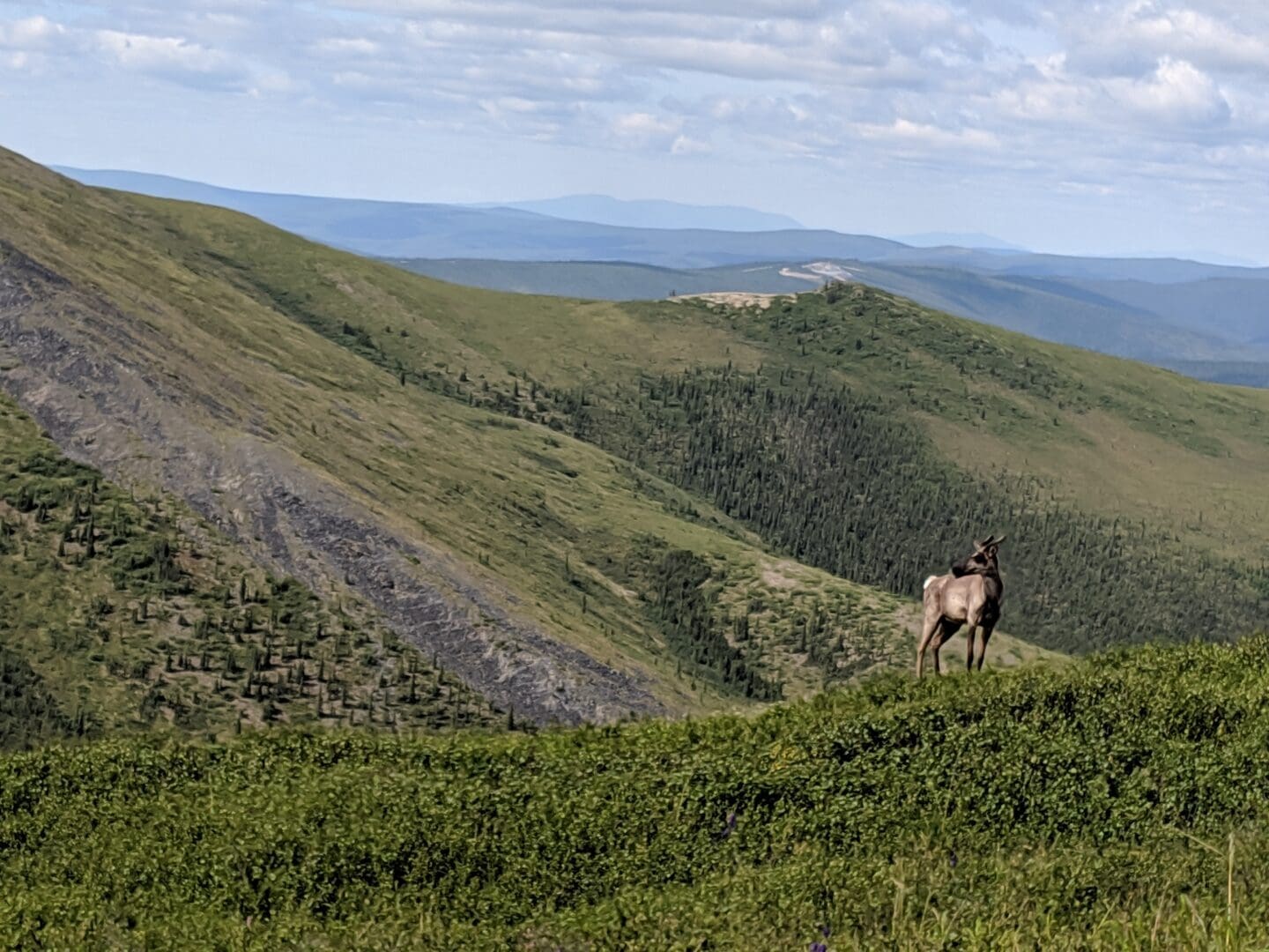
A path forward for grizzlies, caribou, and communities
The plan builds on a draft framework, that identified approximately 44.7 percent of the planning area as high conservation value land— including critical habitat for grizzly bears, caribou and moose with roughly 3.3 million acres proposed for special management conservation within the Y2Y region.
Proposed Special Management Areas and Integrated Stewardship designations offer a balanced approach, providing the certainty that industries and communities need while ensuring the region’s ecological integrity endures for generations.
Y2Y celebrates the significant progress reflected in the plan, including the identification of high-conservation-value lands, and applauds the years of good-faith work of the Yukon Government, Tr’ondëk Hwëch’in Government, and First Nation of Na-Cho Nyäk Dun. This plan centers land-related decisions on shared values, such as healthy caribou herds, community-resilience, and sustainable local economies, and it provides a framework for the management of cumulative effects. For industry, clear land-use designations will streamline planning and reduce the risk of conflict. It safeguards communities with the clean water, healthy wildlife populations, and outdoor way of life that define the region. Y2Y urges the Yukon Government to adopt the plan.
The Regional Plan is available for public review here.
Related stories
30×30: Protecting 30% of Earth’s habitats by 2030
In a historic show of global unity, 196 countries have agreed to chart a path to a Nature Positive future together — committing to protect 30 percent of Earth’s lands and waters by 2030, ensuring the natural world and all the benefits it provides us with flourishes for generations to come.
A brighter future for caribou and communities
The Klinse-za/Twin Sisters Park expansion marks a significant milestone in the collaborative, Indigenous-led efforts to save a mountain caribou herd in northern British Columbia.