Help us connect and protect the
with your support, we’re helping people and nature thrive
We work to connect and protect habitat from Yellowstone to Yukon so that people and nature can thrive.
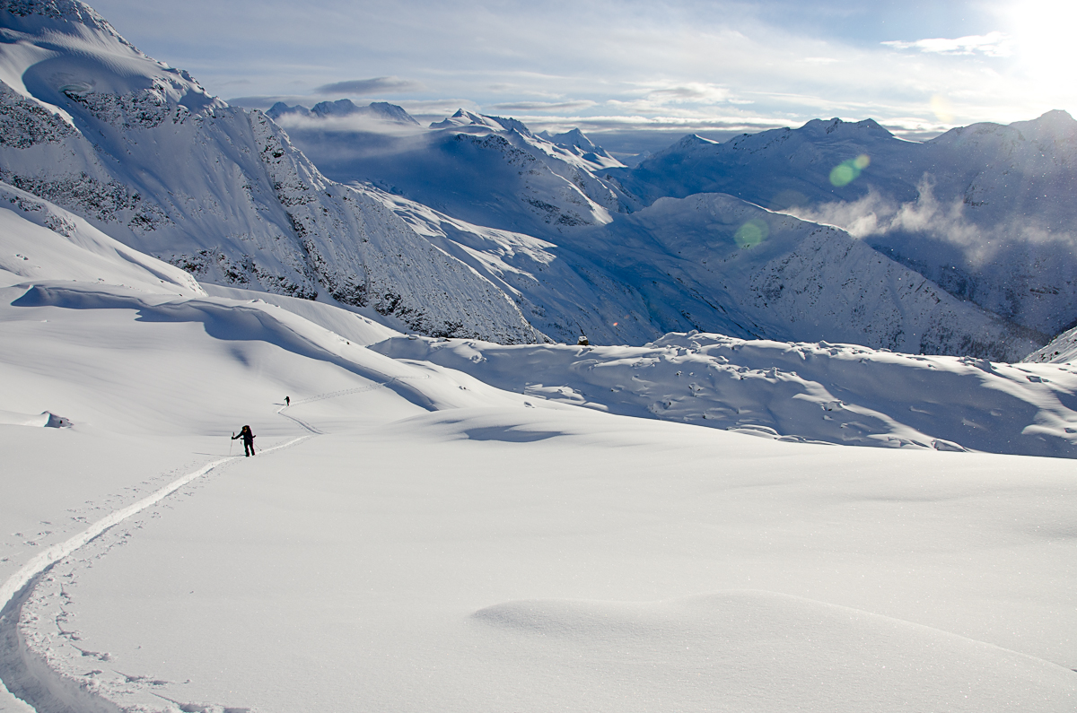
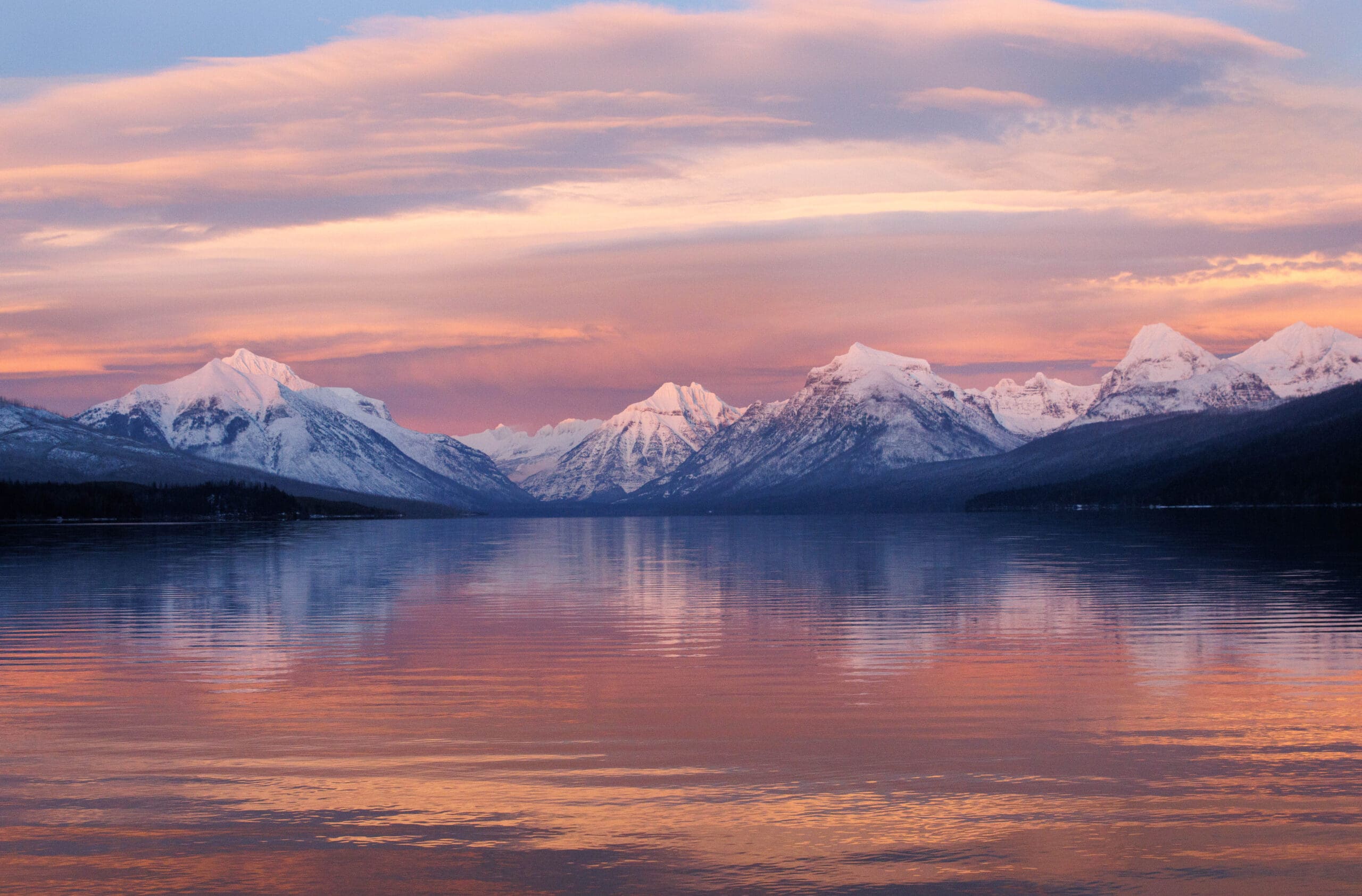
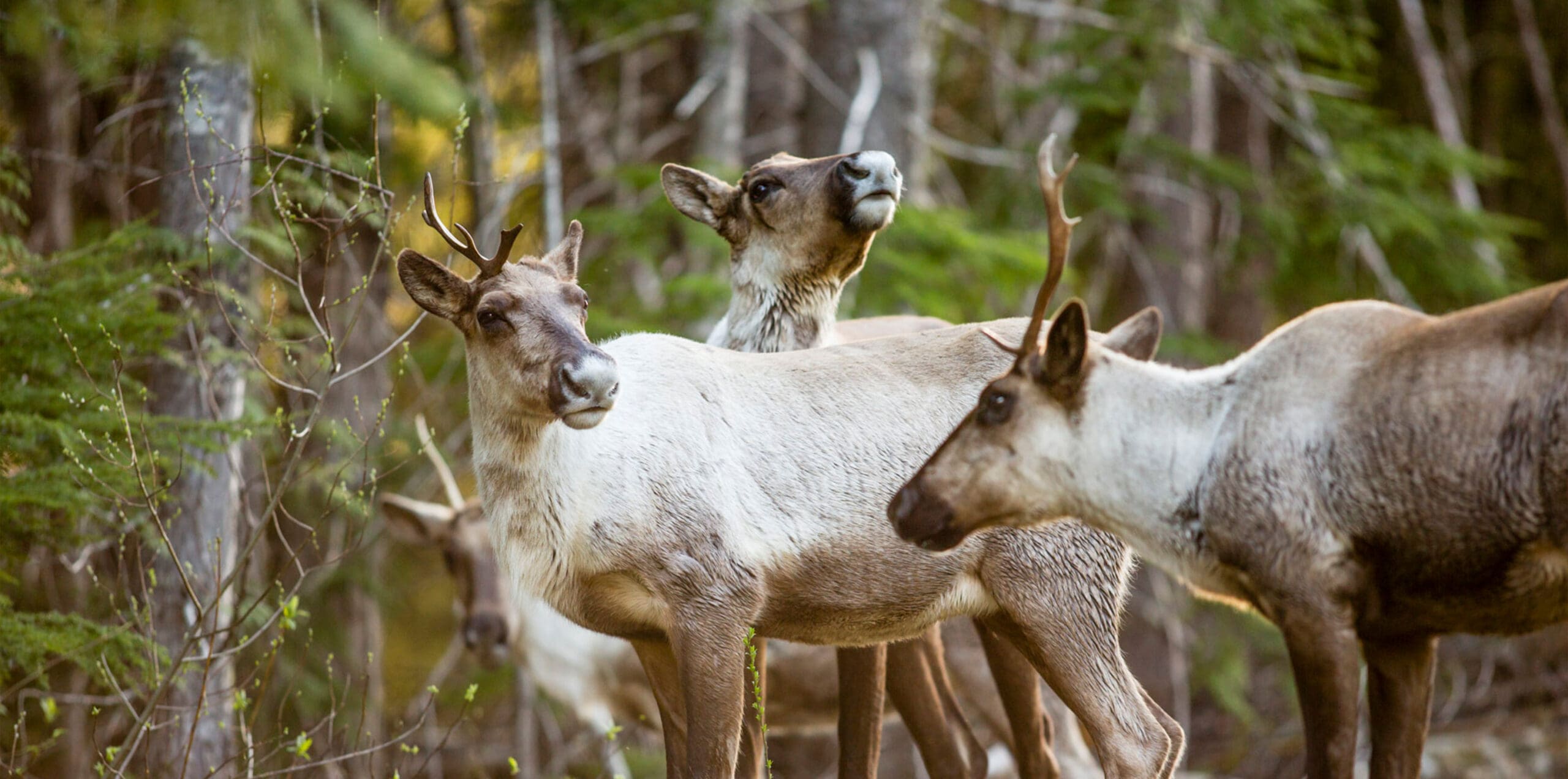
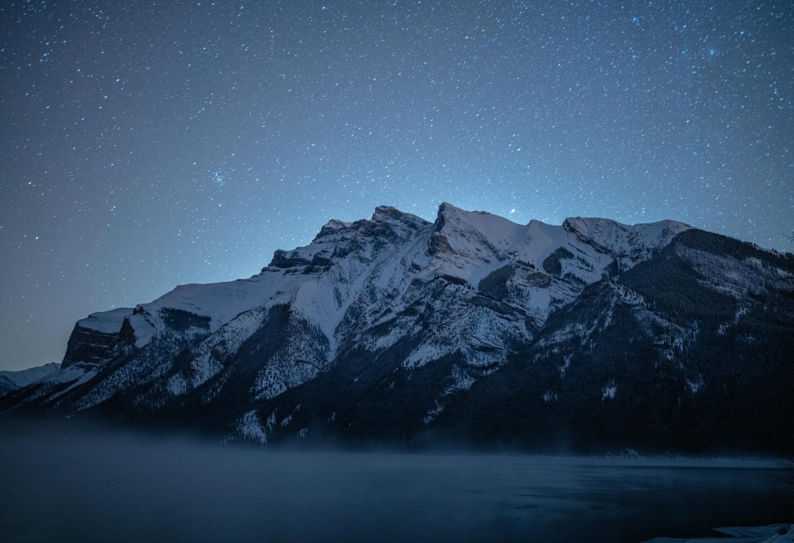
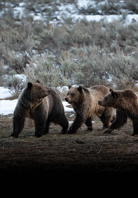
Spanning 3,400 km (2,100 miles) from the Greater Yellowstone Ecosystem in the south to the Yukon Territory in the north, we strive to connect and protect enough space for a wide range of species — including grizzly bears, elk, wolves, caribou, wolverines and more — to roam, feed, and reproduce.
Our vision is an interconnected system of wild lands and waters stretching along the spine of the Rocky Mountains, harmonizing the needs of people with those of nature.
And keeping it wild takes all of us.
Your support powers a movement to protect key habitat and wildlife corridors, reverse the loss of biodiversity, and act as an antidote to a changing climate.
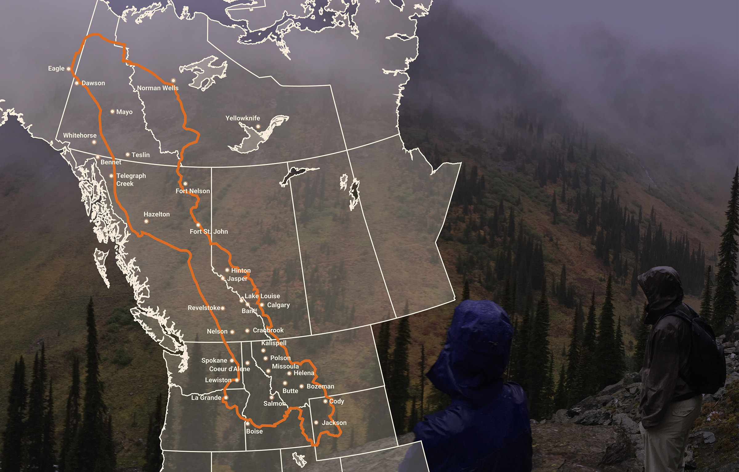
1.3 million km2 | 500,000 mi2 with wilderness at its core
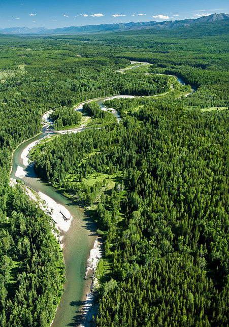
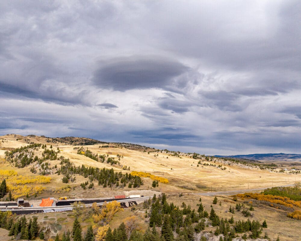
Spanning five U.S. states, two Canadian provinces, two territories and more than 75 Indigenous territories, the Yellowstone to Yukon region is the largest intact mountain system left on earth.
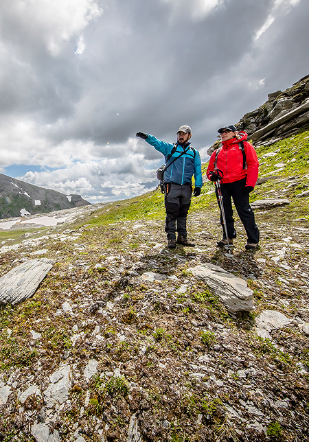
It’s rare. It’s vital. And it’s one of our best natural defenses against biodiversity loss and a changing climate. With your support, our work helps wildlife move freely, while supporting the people and communities who share this land with them.
Let’s work together to keep it wild.
see how our teams work to protect and connect this magnificent landscape
you’re helping to protect wildlife and changing the future of the Yellowstone to Yukon region
+80%
increase in protected areas
You’re helping expand the amount of protected land, giving more species more space to survive.
<80 km
closing the gap
You’re helping to decrease the gap between isolated grizzly populations from 240 km (150 miles) to the current gap of 80 km (50 miles).
204+
wildlife crossings supported
You’re helping to remove barriers to wildlife movement and help keep habitats connected — a key to species survival.
