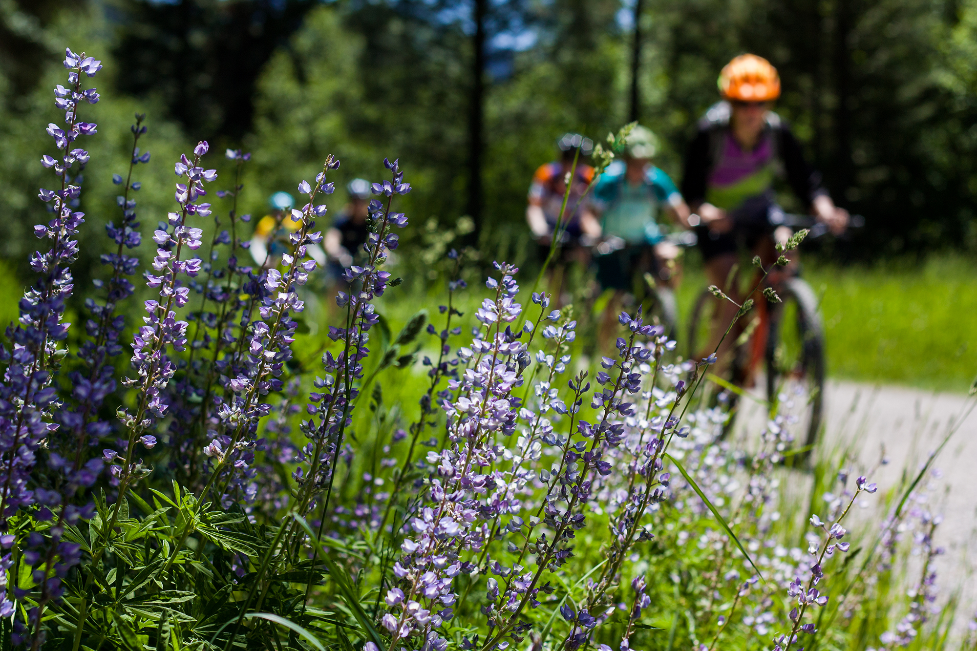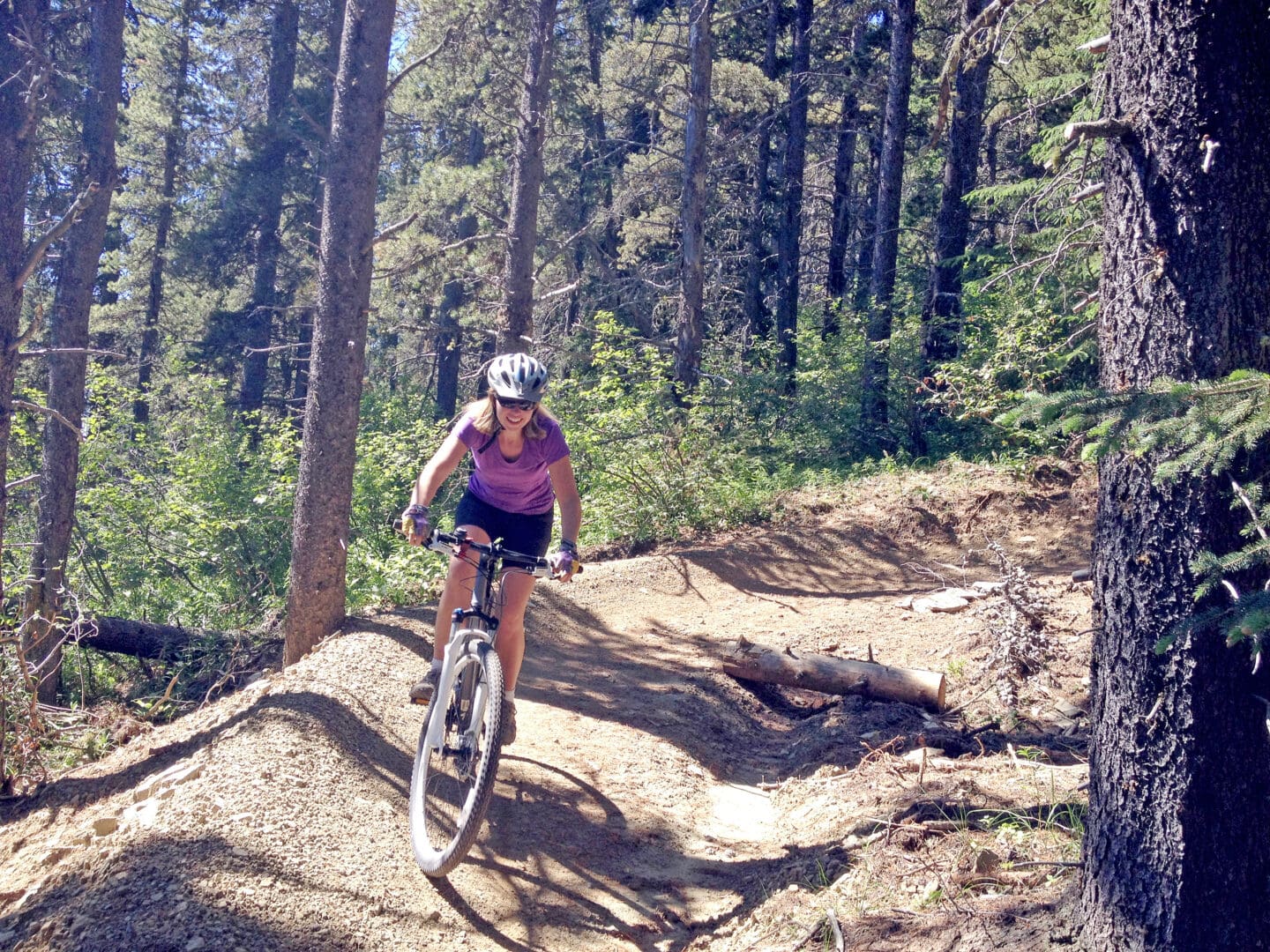
Comprehensive new research and mapping puts recreation and wildlife habitat on the same page for planners
With the right planning and management, people and wildlife can keep sharing space in the Rockies and Columbia Mountains. A new study gives land use planners, wildlife managers and researchers the most comprehensive data yet to guide those decisions.
Published today in Biological Conservation, this new research maps when and where recreation overlaps with habitat for southern mountain caribou, grizzly bears and wolverines across 63,000 square kilometres of western Alberta and southeastern British Columbia, inside and outside of protected areas.
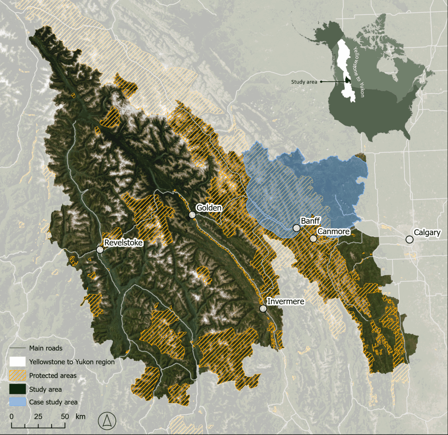
The work, supported by the Yellowstone to Yukon Conservation Initiative (Y2Y) and the University of Northern British Columbia, concludes several years of research to better measure and map recreation, and how it affects wildlife, in the Yellowstone to Yukon region.
Few studies combine wildlife habitat and recreation use for multiple species, seasons, and activities, let alone at this scale. By mapping both across the landscape, the research shows where they overlap and how that changes by species, season and activity.
In late winter, about one third of the best caribou habitat and about one quarter of wolverine habitat overlap with the most heavily used recreation areas. These species are slow-reproducing, wide-ranging animals sensitive to habitat change and human activity, with populations that do not recover quickly.
Less than 8 per cent of shared habitat in the study area sees the heaviest recreation use. That means planning and solutions can be specific and focus on a few key places now to ensure threatened species have the habitat security they need today and into the future.
“What surprised us most was how concentrated the overlap was. Across this huge area, the places where important habitat for the three wildlife species coincided with the busiest recreation made up a relatively small part of the landscape. That gives us a starting point for identifying where planning could make the biggest difference for wildlife, while keeping backcountry areas accessible for recreationists, like me, to enjoy,” says Annie Loosen, lead author.
The interactive maps are free online and are designed for regional planning, not decisions about individual trails. They can help guide existing processes, such as subregional planning and management, or updating policies related to species at risk, and point to where more detailed study is needed. Planners can also use them to explore where coexistence measures would be most effective or where recreation can be sustained without harm to wildlife.
Good decisions matter for recreation and nature-based tourism, as both depend on healthy wildlife and access to a variety of places. Y2Y supports planning that works for both nature and local economies.
“When the problem is specific, solutions can be too. That’s good news for wildlife and for people who love to ride and ski,” says Nadine Raynolds, Y2Y’s director of communities and conservation. “This research provides insight to support outdoor recreation planning and management, something land managers, communities and the sector have been asking for.”
The study maps overlap on the land base, not impacts on wildlife or species populations. This is important as animals can respond in ways that maps can’t capture. Wildlife may be directly displaced by recreation users, or become more active at night to avoid people, causing other effects on their health.
“Mountain landscapes are places people love and they’re also home to wildlife that need space to move, feed, and raise their young. What’s powerful about this science is simultaneously having a big picture view and nuance about different species, seasons, and recreation activities, so we can be wise, long-term stewards,” says Aerin Jacob, co-author, director of science and research, and Weston Family senior scientist at the Nature Conservancy of Canada and adjunct research professor at Carleton University.
Read the paper: Managing recreation and wildlife: Assessing human disturbance on sensitive species in western Canada.
additional reading

Responsible recreation in wildlife habitats
Y2Y’s collaborative recreation ecology research with the University of Northern British Columbia helps to protect wildlife through responsible recreation.
Studying recreation in the Yellowstone to Yukon region
How can we do better to protect the places we love to explore, and the wildlife we share space with?