Citizens just like you are turning into scientists, collecting data to help inform decision-makers about where the particularly treacherous stretches of highways from Yellowstone to Yukon are — for wildlife and drivers.
Just north of the Canadian-U.S. border, Highway 3 winds through the Rocky Mountains, cutting across southern parts of Alberta and B.C.
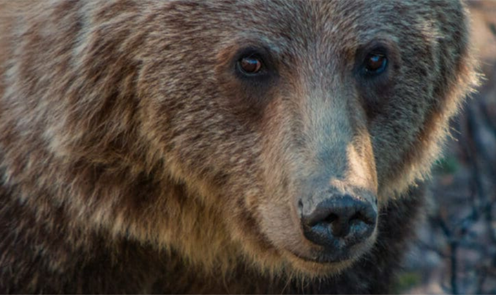
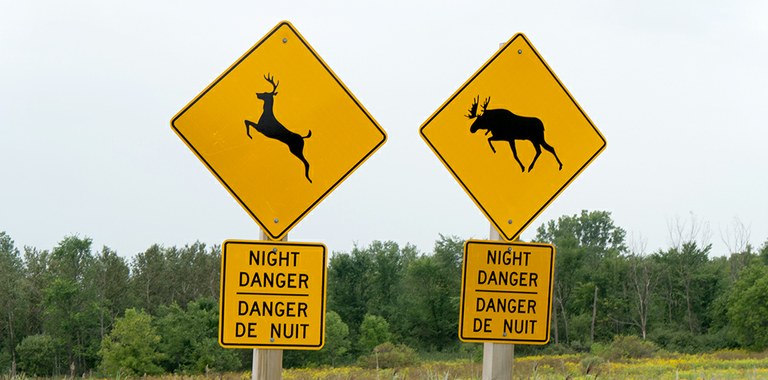
Every day, wildlife moving between Banff National Park and Glacier-Waterton International Peace Park encounter this road — and the up to 9,000 vehicles that travel it each day. All too often, a wildlife-vehicle collision is the result.
RoadWatchBC was created to address the connectivity issues and mortality created by this situation, and reduce the costs of wildlife-vehicle collisions from vehicle damage and insurance premiums, as well as human injuries and fatalities.
Thanks to your support, the RoadWatchBC smartphone app, launched by Y2Y and partners at Wildsight, the Miistakis Institute and the Western Transportation Institute, recently celebrated its first year of public data collection.
People just like you download the free app and then log wildlife and roadkill sightings on or near highways, as a passenger.
If driving, travellers have the option to use an online mapping tool at a later time to report wildlife they recall.
Data collected from app users enable scientists to determine where animals tend to cross the highway safely or, conversely, be struck by vehicles. In B.C., results are shared with provincial road planners to help them determine the best locations to build future crossing structures, ensuring safe passage for people and wildlife.
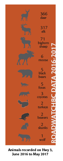
The data collected from the first season, June 2016 to the end of May 2017, includes a variety of animals, from large numbers of elk and deer down to a single, lone wolf.
So far, the app has proven to be popular. Although it only currently works from Elko, B.C. east to the Alberta border, interest from other communities in the Yellowstone to Yukon region is growing. Currently Idaho Fish and Game is sorting data collected by app users in certain areas of the state as a pilot project.
A full analysis of the program and data collected will happen in 2019. We hope this technology will continue to grow in popularity, helping groups monitor roads for wildlife and make them safer for all.