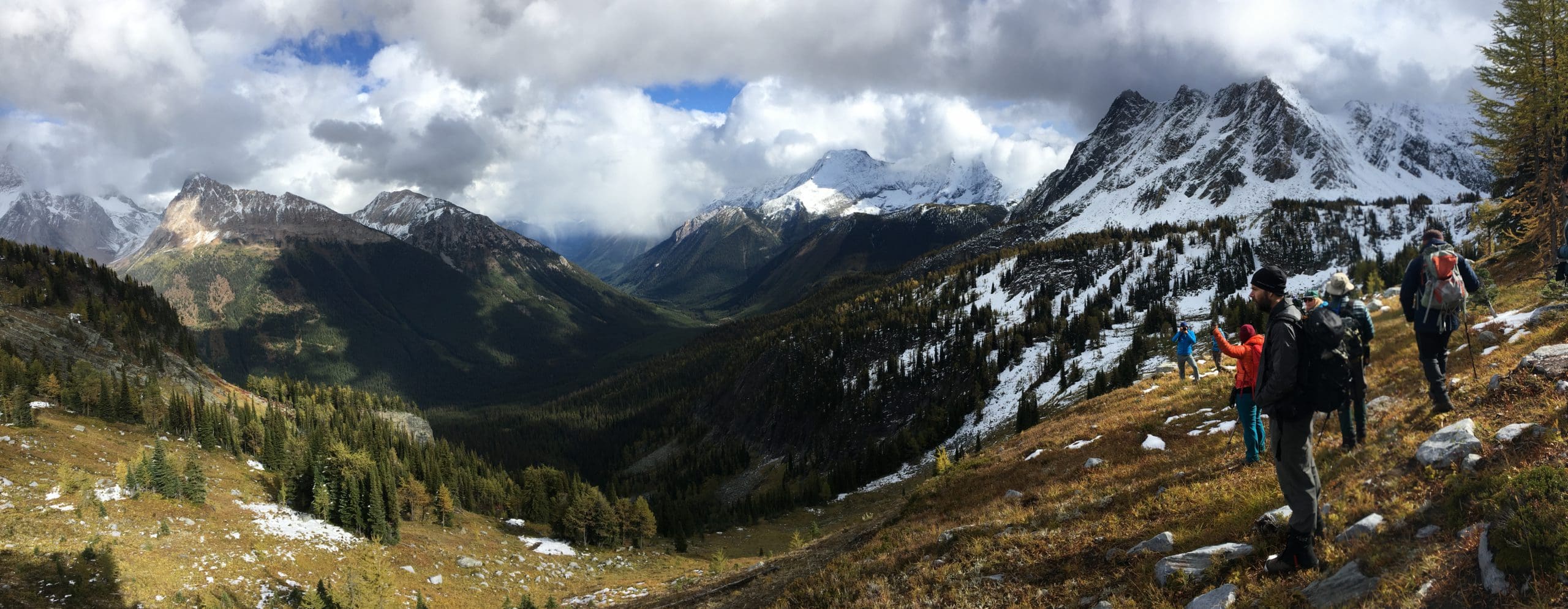
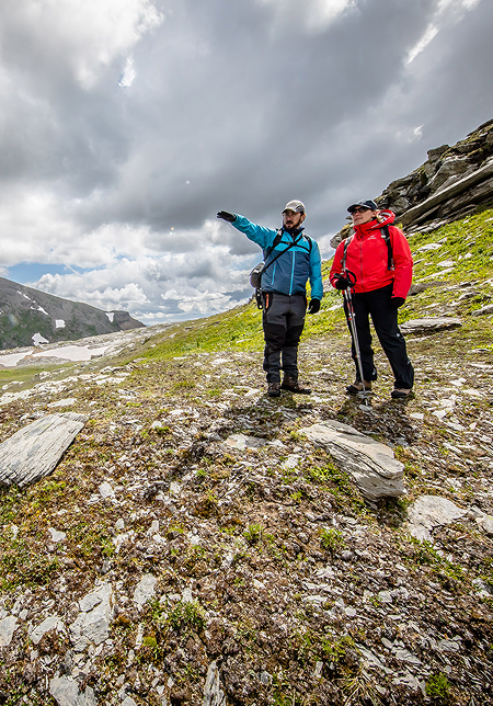
Hiking Jumbo Pass. Photo: Aerin Jacob
together with you, we’re helping people and nature thrive
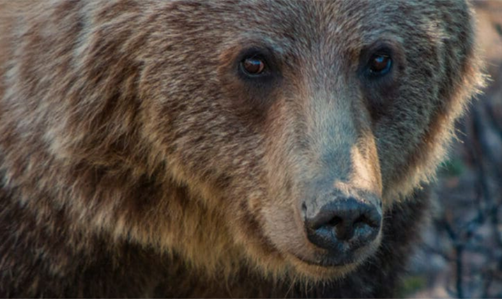
The Yellowstone to Yukon Conservation Initiative uses a partnership-based approach to collaborate with hundreds of community partners, including conservation groups, local landowners, businesses, government agencies, Indigenous governments, scientists, people and organizations, and others to protect habitat along the spine of the Rocky Mountains.
Starting from humble roots in 1993, we’ve worked with more than 811 partners, building a movement that unifies voices and people who support large-scale land conservation. Our work addresses the needs of people and wildlife, giving animals room to roam and promoting harmony between communities and nature.
our programs
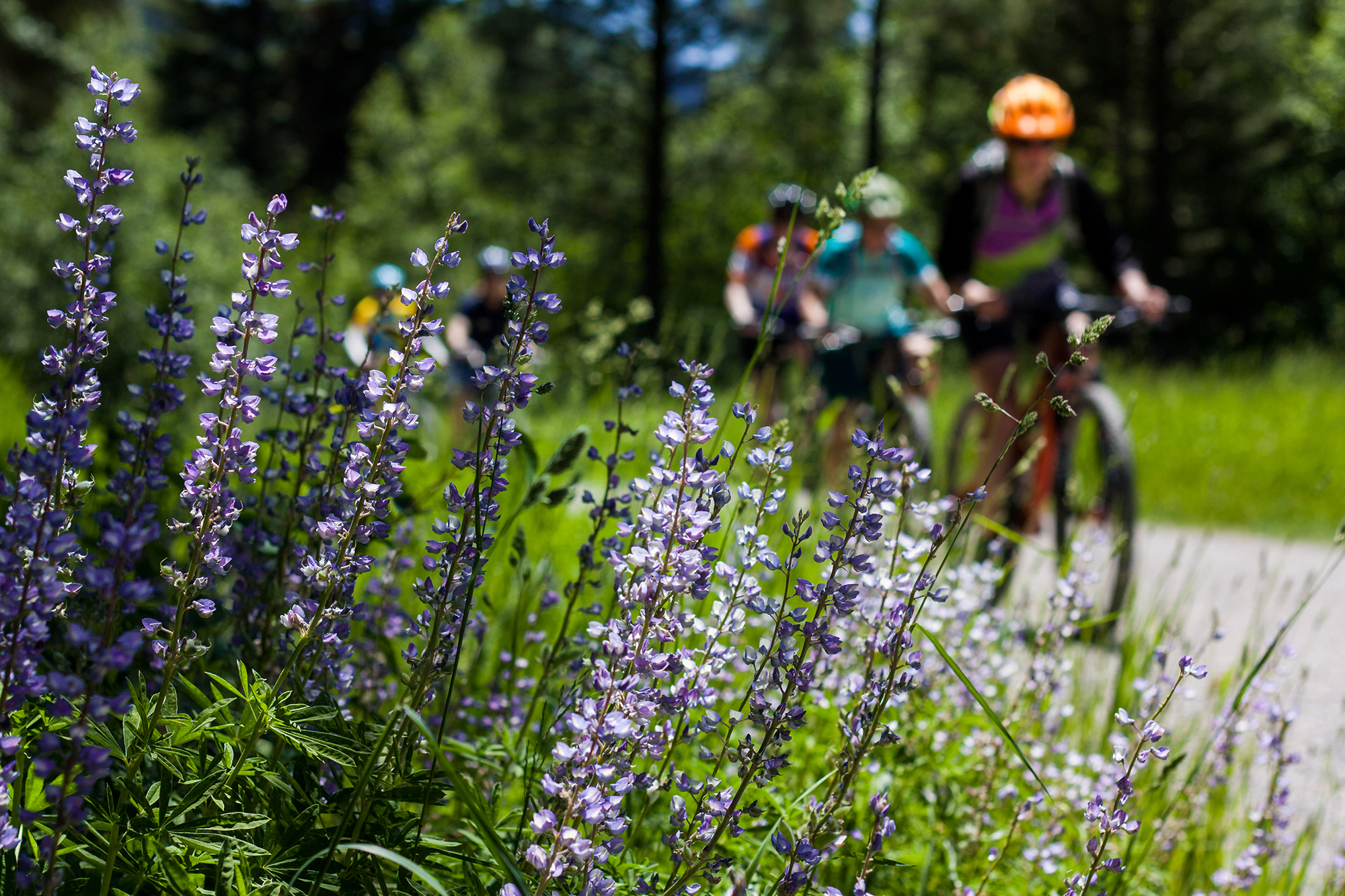
Y2Y drives conservation solutions at the scale nature demands. We work to protect and maintain natural connections for wildlife, for people and nature, communities and culture, for habitat and waterways.
At the core of this effort is engaging diverse communities, perspectives and ways of knowing, especially the many Indigenous communities, to connect and protect this vast, ever-changing and magnificent landscape.
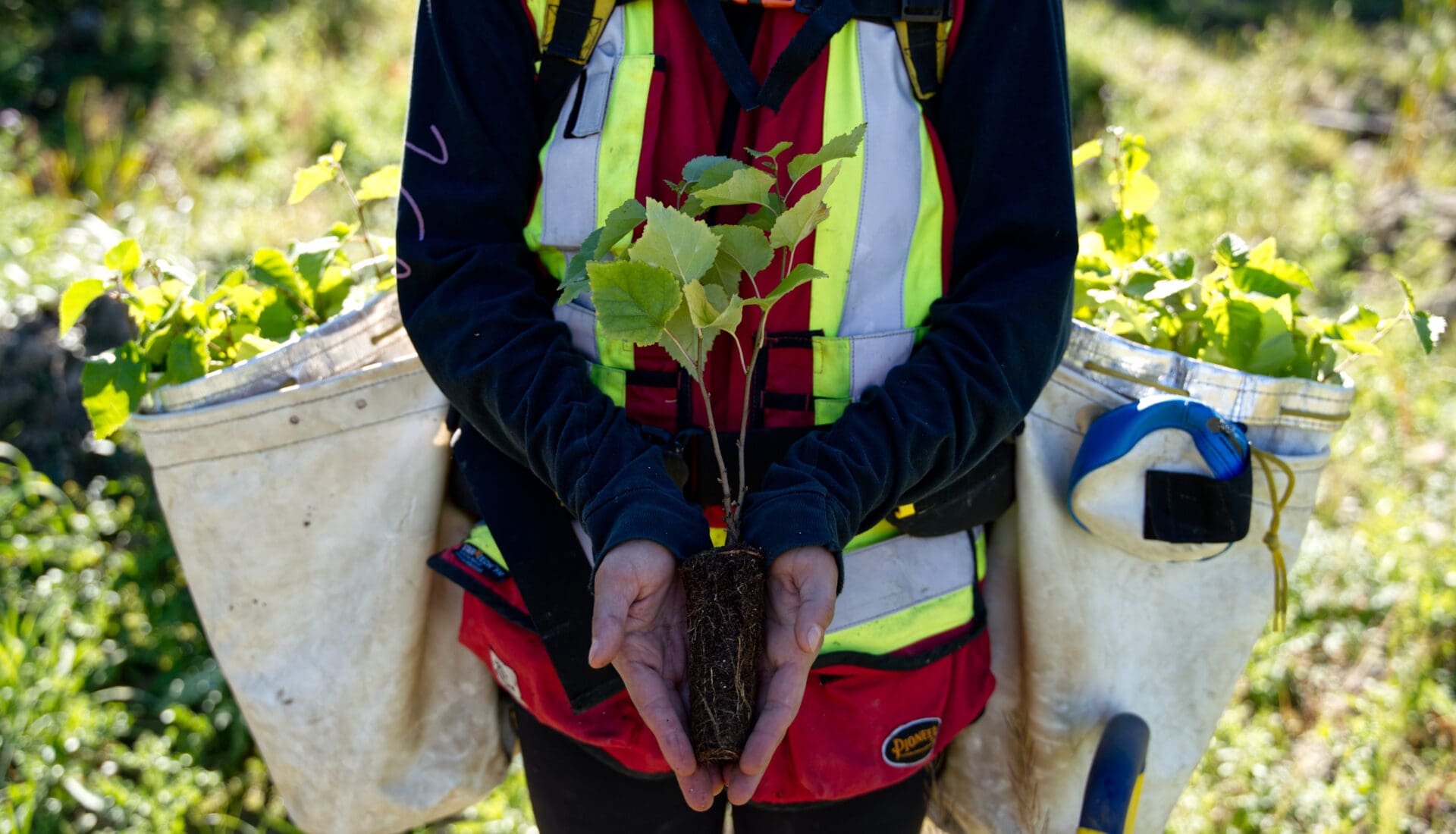
Saulteau and West Moberly First Nations co-run a native plant nursery in Treaty 8 territory. Photo: Ryan Dickie
science & Indigenous knowledge
We rely on the best available information, including science and Indigenous and local knowledge, to guide our conservation efforts in the Yellowstone to Yukon region. Given that all our work occurs on Indigenous lands, we aim to engage respectfully with Indigenous governments, people, and organizations. We seek, where seen appropriate by knowledge holders, to incorporate local and Indigenous perspectives and expertise. In doing so, Y2Y will seek to engage in ethical space so that both Indigenous knowledge and science — social, economic, natural, physical and biological sciences — are valid and important contributions.
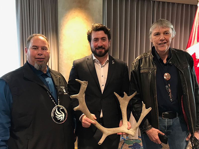
Photo: Candace Batycki
policy & government relations
We ensure enduring conservation by promoting a strong policy framework of laws and practices to advance Y2Y’s non-partisan policy goals at all government levels, including Indigenous, federal, state, provincial, territorial, and global. We work closely with communities and decision-makers to make a positive impact in the Yellowstone to Yukon region, supporting Y2Y’s vision and priority conservation outcomes shared by partners.