NASA-funded wildlife monitoring project aims to speed research into action to help conserve species
In an era where climate change, habitat loss, poaching and other human impacts put many species at risk, there is a need to understand where animals go and what they need to thrive.
A new NASA-funded project — Room to Roam: Yellowstone to Yukon Wildlife Movements (Room2Roam) — aims to accelerate data analysis and coordination to improve wildlife management efforts across borders. The ambitious effort includes a regional network of partners in a major migration corridor of western North America.
The Yellowstone to Yukon region extends more than 3,400 kilometers from the Greater Yellowstone Ecosystem in the western United States to the Arctic Circle in the Yukon Territory of Canada. Coordinated conservation work in this region led to increases in protected land and public support for maintaining migration corridors in the region.
“Connecting spaces and species, diverse communities and peoples, and people to nature are key components of Y2Y’s work across the entire region — and borders,” says Dr. Jodi Hilty, president and chief scientist of the Yellowstone to Yukon Conservation Initiative.
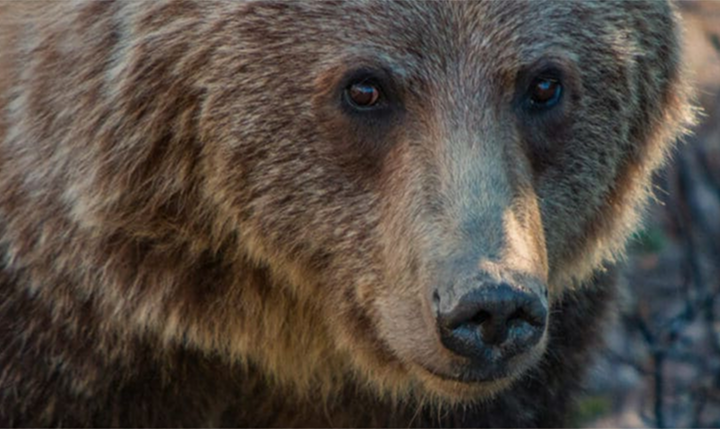
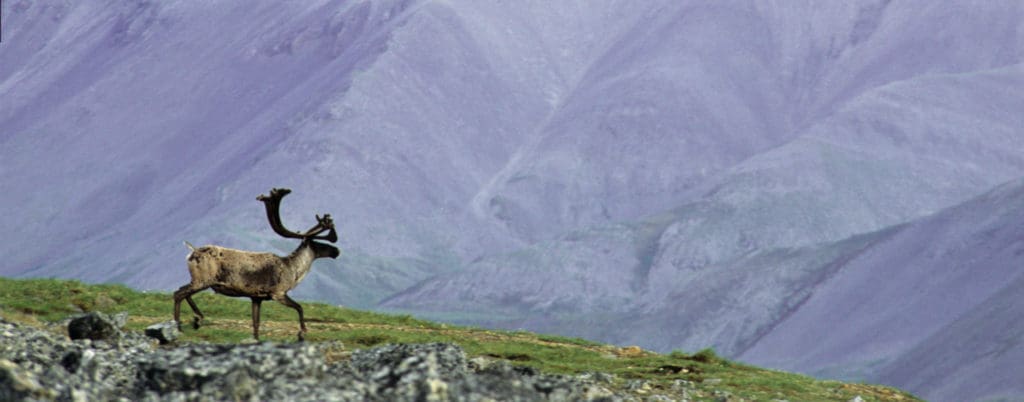
“This unique partnership will also help us better understand the needs of important species, from grizzly bears to caribou and more. This research is critical to advance large-scale conservation, interconnected landscapes and wildlife corridors at the scale nature needs.”
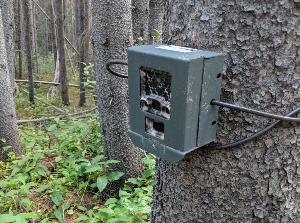
Remote sensing devices like cameras and animal tracking tags are behind the latest approaches that scientists and wildlife managers use to manage and conserve wildlife populations. Tools developed by Room2Roam will offer opportunities to strengthen work in the Yellowstone-to-Yukon region, and to repeat the region’s successes in the world’s other iconic migration corridors.
Room2Roam brings shared data analysis tools to the Yellowstone-to-Yukon partner network using Movebank, a global platform for animal tracking hosted by the Max Planck Institute of Animal Behavior.
“Agencies and conservation groups worldwide use Movebank to securely store and share wildlife monitoring data,” says Sarah Davidson, the data curator for Movebank and co-ordinator of the Room2Roam project.
A new interactive platform, MoveApps, builds on Movebank to allow groups to design and share methods to process and assess these data.
“These tools can provide automated analysis for managers that spend much of their time out in the field, near-real-time alerts to identify and respond to potential threats, and connections to information about the conditions experienced by wildlife, like weather and land use,” adds Davidson.
“In interviews with dozens of wildlife managers in North America, we found that most managers rely on contractors or graduate students to analyze animal tracking data, with results and management implications often not available until years after they were collected,” says Movebank program manager Ashley Lohr.
Delays between the time data are collected and when they lead to management decisions can mean the difference between identifying impacts in time to intervene — or after it’s too late to respond.
Further, sharing data and results can be a challenge, slowing opportunities to gain knowledge from data and work together across boundaries that are not recognized by wildlife.
“Agency wildlife managers have described to us how using Movebank has made it easier to share and integrate data with other agencies, including for animals that cross multiple provinces and states,” explains Davidson.
“We work with multiple partners, including First Nations and Renewable Resources Councils, to manage Yukon caribou populations, and communication of results is key to maintaining those relationships,” says Kelsey Russell, caribou biologist with the Government of Yukon.
“It is helpful to have tools that allow us to analyze and visualize caribou locations on the landscape in near-real time. As wildlife managers, it is key for us to provide timely advice and feedback on questions from communities and others regarding caribou conservation.”
Room2Roam is supported by the NASA Ecological Forecasting Program, which uses the agency’s work in space to predict and respond to changes on Earth.
“To understand how animals behave and respond to environmental conditions, researchers often rely on space-based data products, like satellite imagery,” says Davidson. “And because the locations of tracked animals can be transmitted by satellite, space-based technology offers a key method for monitoring animal movements, especially over long distances.”
The project was launched at a June 2022 workshop in Whitehorse, Yukon Territory, where representatives of seven agencies and conservation groups in the Yellowstone-to-Yukon region met with project developers led by Dr. Gil Bohrer, professor of ecological engineering at Ohio State University.
There, they shared stories of their wildlife conservation programs, priorities for using animal tracking data for research and applied management, and hands-on sessions working with their own data on MoveApps. The stories of those working in the region revealed many shared needs to make better use of animal tracking data through automated procedures.
“We all want to understand how animals are impacted by roads, identify when and where caribou calve and birds stop along migration, and whether these behaviors are changing over time” says Dr. Bohrer.
“Groups also need interactive maps to show communities what we are learning. With Room2Roam, wildlife managers will have the combined expertise of our statisticians and modelers, and the data resources of NASA, available with a few button clicks.”
“An important part of increasing landscape connectivity is reducing the harmful effects of roads on wildlife,” says Dr. Annika Keeley, senior conservation scientist at the Center for Large Landscape Conservation.
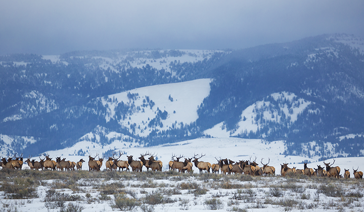
“We hope to create a tool that will create a video animation of a set of — for example — elk movement data, that will show when, where, and how frequently individual elk are crossing a highway. We will then be able to show decisionmakers the hotspots where multiple animals tend to cross the road, and help propose solutions.”
The project will continue through 2025, and the team plans to extend participation to more groups working in the region.