A new report released by researchers at University of Northern British Columbia (UNBC) and Yellowstone to Yukon Conservation Initiative (Y2Y) shows at least 24 per cent of trails on public land in Kananaskis Country and B.C.’s Upper Columbia are not documented by governments.
This research was conducted across a 62,800 km2 study area in southwest Alberta and southeastern B.C. to form a more complete picture of how many people recreate and use trails inside and outside protected areas, as well as where, when and how they recreate.
These findings suggest that knowing trail locations is an essential part of effective recreation, planning, conservation and human safety.
STUDY AREA
The Recreation Ecology Research Project is collecting data from Alberta’s Kananaskis-Ghost and the Upper Columbia region of British Columbia. This information will be used to understand when, where, and how people are going outside in these places.
Read more about this project: Studying recreation in the Yellowstone to Yukon region.
Today, people get information on hiking trails from a variety of sources including paper maps and smartphone apps. This wealth of information can be a boon to recreationists, but the myriad sources make it difficult for government managers to track in terms of available data types and for public safety. In 2022, according to Kananaskis Country’s Public Safety, emergency teams responded to more than 300 incidents of recreationists getting lost while using apps designed for trail use.
This initial study documenting trail type and recreation use will also serve as a building block to further understand relationships between recreationists and wildlife.
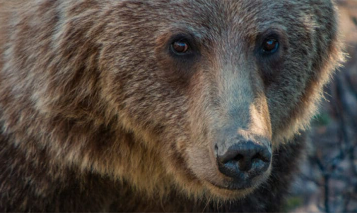
Past studies suggest behavior of wildlife changes in response to certain types of recreation. By understanding which trails experience heavy overlap with important wildlife habitats, recreationists can decrease competition with wildlife for space while also decreasing potential for conflicts between user groups.
“Understanding where people go will build robust planning and management that meets the needs of people and wildlife, supporting healthy landscapes for years to come,” says Dr. Annie Loosen, project lead and post-doctoral researcher for UNBC and Y2Y. “Finding the places where wildlife habitat and recreation areas overlap, will help government staff and planners make decisions that benefit both people and wildlife.”
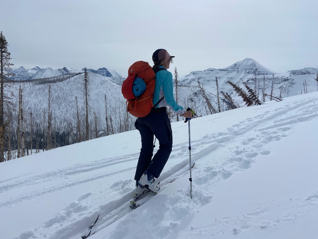
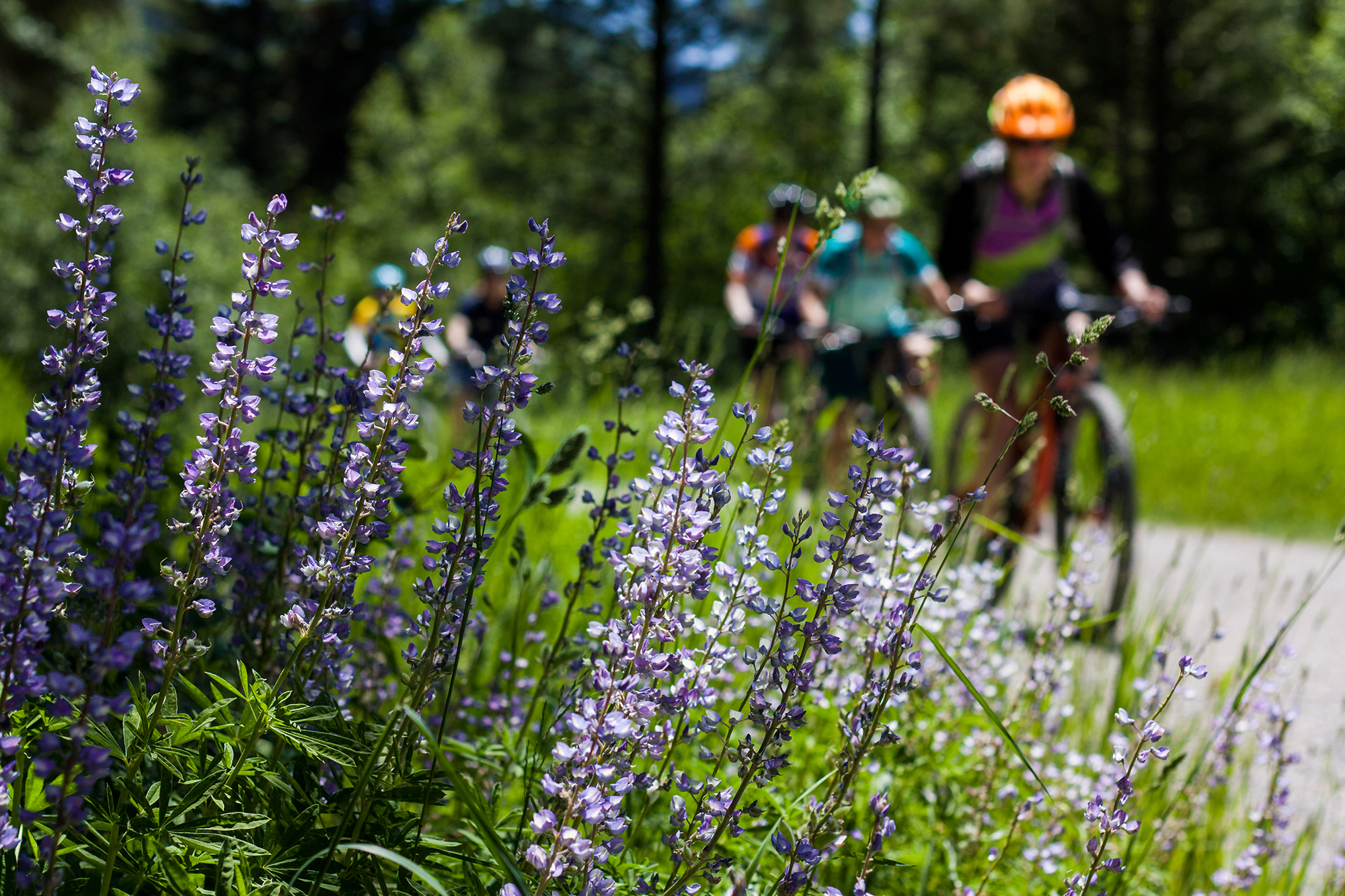
Future research will look at various types of recreation including skiing, hiking, biking and motorized vehicle use, such as quads. Data from government and trail apps along with interviews with recreationists will help identify not only where, but when and how many people are getting outside. Trail counters, social media, smartphone apps, data from recreation hotspots along with aerial surveys will help fill in current gaps in our knowledge.
“Now, more than ever, people are exploring the outdoors. Research like this will lead to better recreation planning, creating higher quality experiences for people while ensuring that wildlife also have what they need to thrive,” says Doris Hausleitner, a wildlife biologist from Nelson, B.C.
“Recreationists want to do the right thing and coexist with wildlife. However there needs to be someone looking at the landscape scale impacts and offering guidance to the different user groups,” she says.
“This is a superb fact-based report that is a clear, compelling call to action,” says Reid Thomas, director of Forest Matters Communication Society, one of the participants in the research.
“Outdoor enthusiasts who want to conserve quality recreation opportunities for future generations should find the report helpful to refine their ideas and recommendations for improving recreation management on public lands — and the Government of Alberta, hopefully, will be inspired by the report and resume sub-regional landscape management planning efforts in the Eastern Slopes study area and throughout the rest of Alberta’s public forested lands.”
Forest Matters Communication Society is a registered non-profit society. As a community group, it is interested in providing ordinary citizens with relevant, factual, and timely information to help them engage in landscape planning and management.
Supporting partners
This multi-year project is a collaboration between Y2Y, University of Northern British Columbia (UNBC) and others including provincial governments, land managers, researchers and you:
- MITACS
- Government of Alberta
- Nature Conservancy of Canada
- Parks Canada
- Round River Conservation Studies
- Government of British Columbia
We are grateful for support from our funders who include:
- Animal Welfare Institute
- Calgary Foundation
- Donner Canadian Foundation
- Eco Canada
- Habitat Conservation Trust Foundation
- Mitacs Canada
- Parks Canada
- RBC Foundation
- The Volgenau Foundation
- Wilburforce Foundation


